East Tyers Walking Track
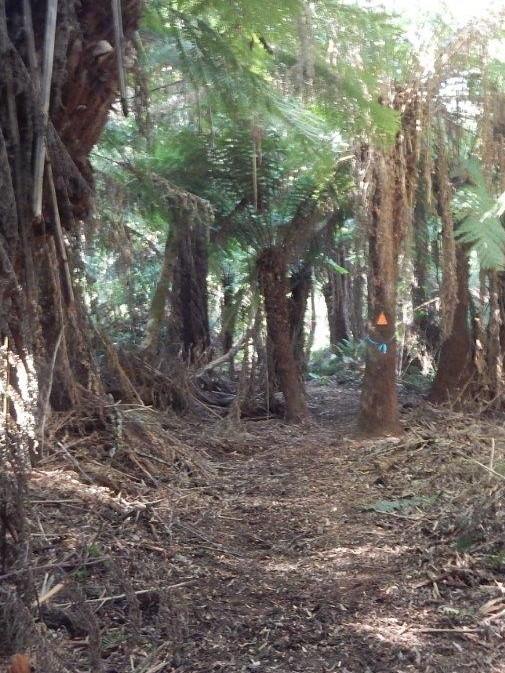
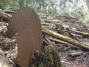
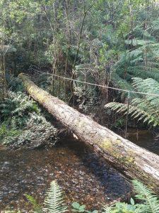
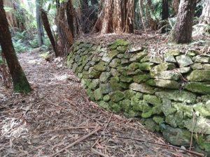
The East Tyers Walking Track is a pleasant fern and tall tree dominated walk along the East Tyers River, largely following the original timber tramway tracks. The short form of the walk is a 8km circuit with 7 river crossing, two have a ‘log’ bridge, the others you need to wade the sttream. An additional 4kms can be added by undertaking the side trip from the Nelsons Mill site (also known as the Munros Western Mill site) to the Munros Eastern Mill site. Highlights of the track include the log bridges, stone retaining walls, mill sites, sawdust piles, boiler ash pile, bottles, bricks and large saw blades.
The 8km walk will take around 3.5 hrs, whilst the 12km walk 4-5 hrs.It is listed as a Grade 4 walk. The walk can be undertaken all year round but is particularly pleasant in summer and autumn. The walk should not be undertaken if the river is in flood or immediately after heavy rain.
Use the links below to down load a comprehensive series of track notes and a detailed map that can be used with Avenza, the mobile offline mapping app.


Permission and funding from the Department of Environment, Land Water and Planning has allowed the East Tyers Walking Track to be cleared and reopened as a bushwalking track.
Volunteers from Bushwalking Victoria’s Bushwalking Tracks and Conservation group and volunteers from the Strzelecki Bushwalking Club were instrumental in clearing and maintaining the track. The Track has been adopted by the Strzelecki Bushwalking Club under the Bushwalking Victoria Adopt a Track program. Under this program club members volunteer to carry out routine maintenance along the track, normally twice a year.
To assist in carrying out track maintenance the Baw Baw Shire Council has also provided funding to the club to purchase the necessary tools and equipment.
